5-day Advanced Navigation & Survival Course October 21, 2024
This is a 5-day advanced navigation & survival bushcraft course.
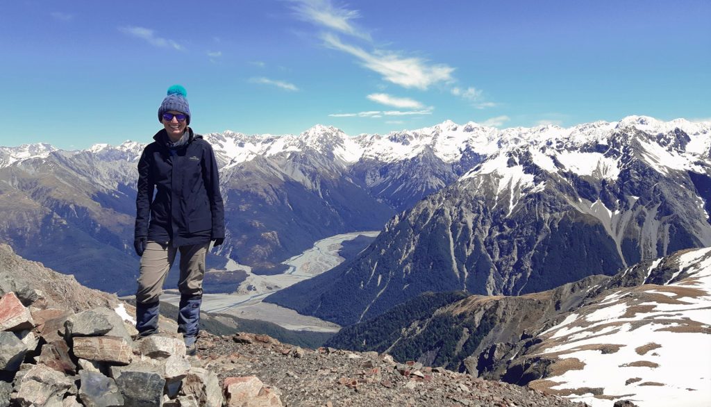
Advanced Navigation, Bushcraft & Survival Course Overview
Our advanced navigation and survival courses are for people who are looking to extend their foundational compass and map reading skills and gain confidence in the NZ backcountry. Delivered in Arthurs Pass National Park, this course includes advanced map & compass skills, travelling in steep terrain, NZ weather, route planning and bush survival skills.
This is a popular course for adventure racers, mountaineers and trampers that are getting into more serious, off-track terrain or those looking to build confidence & survival skills in the New Zealand backcountry. This course is also suitable for professional instructors training towards NZOIA Bush qualifications.
Prerequisites
Before attending this course, you must have completed a 2-3day bushcraft course and a river crossing course. or be competent in river crossing techniques inc rescues, basic navigation, understanding map features, scale and using a compass and be able to walk with a pack for 4-6 hours.
This is an advanced bushcraft and survival course. please get in contact with us before completing your booking if you are unsure you meet the prerequisite skills.
COURSE LOCATION
This course is delivered in Arthurs Pass National Park. However, New Zealand mountain weather can be fickle so as a backup option sometimes we split the course between Arthurs Pass and The Craigieburn Range (see map). Having flexibility in course location ensures you will get the most of your time with us.
ACCOMMODATION
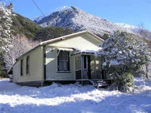
**All your accommodation is included in this advanced navigation & survival course**
1st night – Arthurs Pass lodge
2nd night – Arthurs Pass lodge
3rd night – Arthurs Pass lodge
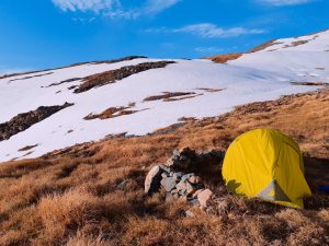
4th night – wild camping Arthurs Pass National Park
Arthurs Pass Lodge
The lodge in Arthurs Pass Village has bunk beds set up across three bedrooms and can sleep up to 20 people. It has a kitchen stocked with utensils, cookware, fridge, ovens. You’ll also be treated to power, bathroom facilities, hot showers and heating.
Note: Evening meals can be purchased from the local pub in Arthurs Pass when staying at the lodge.
Cam out/Survival Shelters
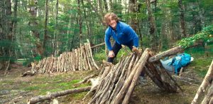
Our 4th night is spent in tents or in survival shelters in the bush. If you choose to you will need to build a suitable natural shelter using only what’s in your pack to survive the night.
GEAR & EQUIPMENT
You will need boots and tramping/hiking clothing, a compass, a pack and some food for this course.
If you’re not sure you have everything you need for the course, that’s ok. We have all the gear and equipment available for you to use. If you need to borrow or hire some gear please add a note to your booking or give us a call.
Note: a full packing list is available to download at the bottom of this page.
FOOD
This is a self-catered course, please pack all of your meals and snacks for the duration of the course. Evening meals can be purchased at the local pub in Arthurs Pass Village on the nights that we stay in the lodge.
TRANSPORT

Free transport is available from any Christchurch accommodation if your travelling from out of town to attend one of our courses.
Meeting locations
If you have your own transport please meet us you at one of the following locations:
- Yaldhurst Mcdonalds 3:30 pm
- Darfield Bakery 4:00 pm
- Castle Hill Village 4:30 pm
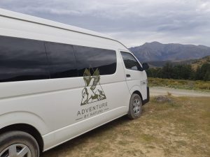
*Our preferred meeting location is Darfield Bakery.
TRAVELLING FROM OUT OF TOWN?
We recommend that you arrive in Christchurch the day before your course. We have a few hotel & hostel suggestions on our FAQ’s page. Please avoid booking accommodation north or east of the city centre. At the end of the course, we are more than happy to drop you back at your accommodation or directly to the airport. The earliest time we can have you back at the airport is 6 pm.
5 Day Advanced Navigation & Survival Course Highlights
Reading Topographic maps (NZ topo50)
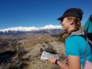
- Above the bush line navigation
- Scale and distance
- Orientating a map using features
- Refining contour interpretation
Travelling contour features
- Ridges
- Spurs
- Gullies
- Saddles
- Highpoints
Using a compass
- Downslope bearings
- Cross slope bearings
- Feild: Feild bearings
- Refining compass technique
Advanced walking techniques in steep terrain
- Poles for bracing
- Foot placements and techniques for steep or slippery terrain
- Handlines
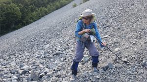
- Scree – traversing, ascending/descending
Survival skills
- Building a natural survival shelter
- Field weather observations and predictions
- Fire lighting in adverse conditions
Weather education
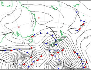
- Reading and interpreting synoptic & metadata information
- Weather data interpretation across forecasting sites
- Field observations
- Free air Freezing Level and what it means
- Understanding how fronts move and what they mean
- A foundational understanding of how weather works.
*Advertised price is the early bird discounted price.
COURSE DOWNLOADS


